Rail passengers see cancellations and delays after heavy rain
Damage to overhead wires closed all lines between London Kings Cross/Moorgate and Stevenage, while there was also disruption in East Sussex, west London, Buckinghamshire and Wales.

Thursday 21 September 2023 11:33, UK
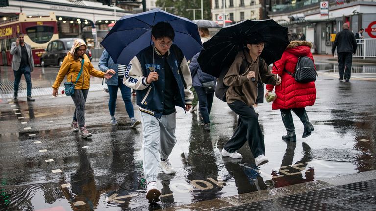
Rail passengers have been facing cancellations and significant delays after heavy rain overnight.
Flooding also hit London as rainfall of up to 4cm was predicted in some areas.
The wet and windy weather is not easing off just yet as the remnants of Hurricane Nigel are set to arrive in the UK this weekend.
Check your local weather forecast here
All lines between London Kings Cross/Moorgate and Stevenage in Hertfordshire are closed following "a number of incidents", National Rail said on Thursday morning.
"Trains may be cancelled, delayed by up to 90 minutes or revised," the statement said.
"Major disruption is expected until 9am."


Be the first to get Breaking News
Install the Sky News app for free


Damage to overhead electric wires resulted in the closure of all rail lines via Stevenage. Customers were warned not to travel on routes that usually run through the station.
Disruption was also reported to services through Tulse Hill in Lambeth and Cheltenham Spa, as well as between Lewes and Wivelsfield in East Sussex and West Ealing and Greenford in west London.

Earlier, flooding had caused disruption on rail lines at Burnham, Buckinghamshire and between Swansea and Llandrindod in Wales. Both incidents have since been cleared up.
London Fire Brigade said it received "numerous calls" last night with roads and properties affected by flooding.
"Crews are working as quickly and as safely as they can to respond to calls," it said.
The brigade also warned people not to drive through floodwater.
Sunny spells are forecast for the east of England on Thursday, while some heavy and thundery showers could break out elsewhere throughout the day before easing in the evening.
Met Office meteorologist Aidan McGivern said: "A band of rain will clear by the start of Thursday and that will be followed by sunny spells and showers with low pressure never too far away from the UK.
"Some cooler weather, along with some chilly nights, are likely as we move towards the weekend."


Read more:
New September heat record - but thunderstorms are on the way
Plan to adapt UK to impacts of climate change 'deeply disappointing'
The bad weather overnight comes as Nigel, a Category 1 hurricane, continues travelling through the northern Atlantic.
Forecasters say it has likely reached peak intensity and is expected to weaken before it hits the UK.
Heavy showers and thunderstorms are forecast for Friday but the Met Office said they are not expected to be as bad as last weekend's weather.